
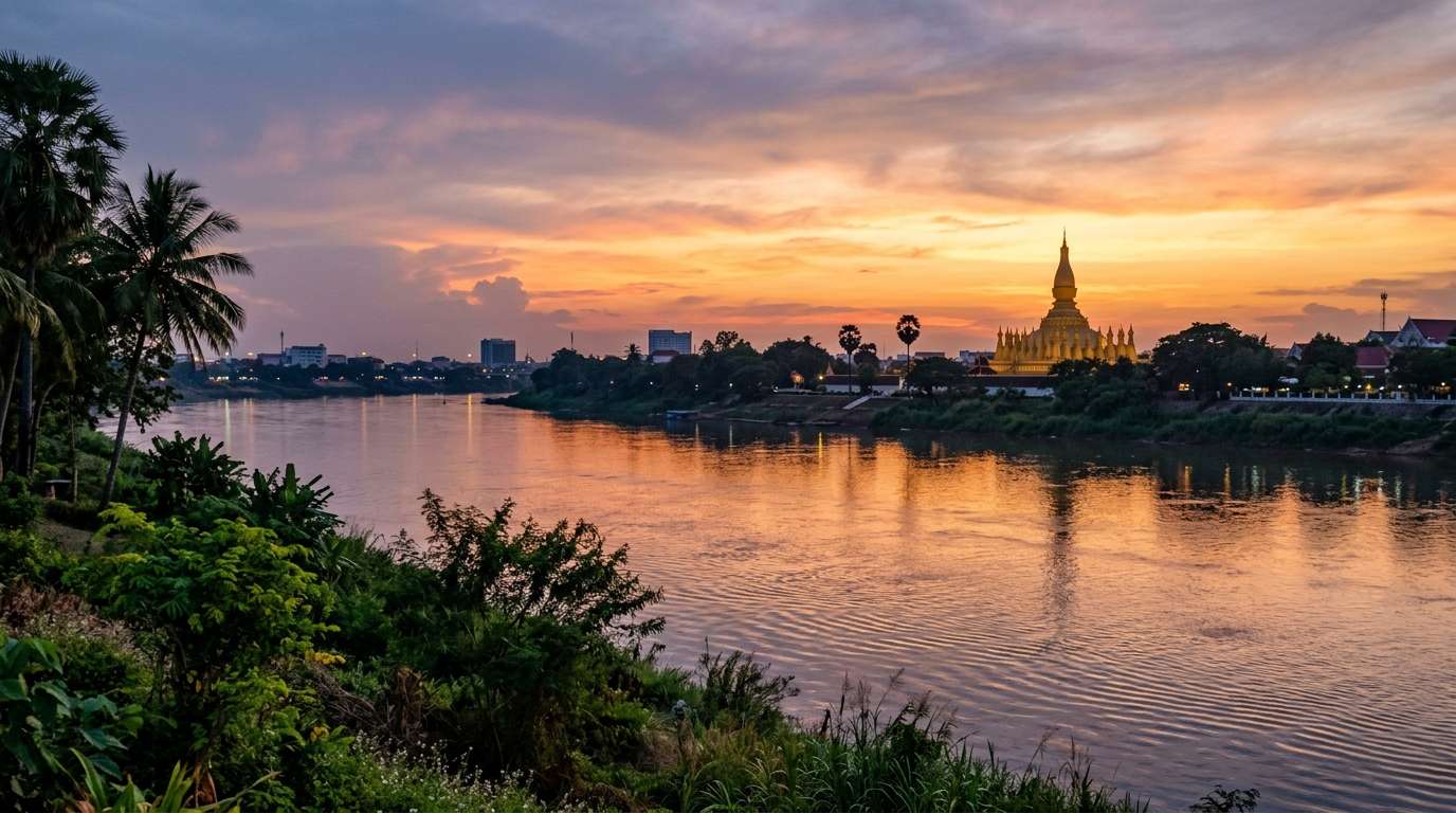
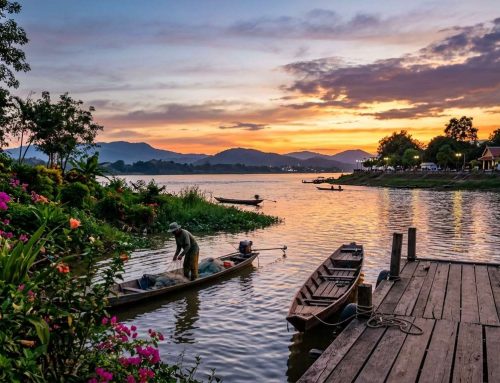
The Mekong turns copper at dusk, and the gold of Pha That Luang glows over the rooftops. Standing on the riverfront, I try to picture the Vientiane future 2050 as a city that fuses sacred brick and gold with clean power and smart water storage.
I should be clear about one thing. The 2050 picture is a vision built on real plans and real trends. It is not a guarantee, and I will mark every line between what is planned today and what I only imagine.
Here is what I found while reading. I look at climate, growth, heritage, water and energy, and then I ask what it all means for a traveler like me. First, I need to know where this capital city really stands today.
Key Takeaways
- The 2050 picture is a vision, not a forecast.
- Today’s real base is the 2011 master plan, which aims at 2030.
- Built-up land in Vientiane Capital nearly doubled between 1995 and 2005.
- A trend projection points to a warmer, slightly drier, sunnier 2050.
- Footstep power is small, so solar and the grid must carry the load.
- Funding and cost figures are still missing, so watch the GCAP.
Where Vientiane Future 2050 Starts: A Riverside Capital Under Pressure
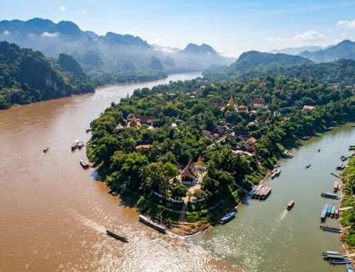
Vientiane is a Mekong river town that grew fast and is now planning how to grow well. The town began on a bank of the Mekong, and that bank is still the downtown and city center. The capital marked the 450th anniversary of its move to Vientiane in 2011.
Vientiane Capital covers 3,920 km2, but most of that area is forest and farmland, not city. Many visitors assume the whole figure is urban. It is not.
Vientiane Capital is huge on paper, yet its built-up core is small, and that gap is where planning matters most.
The numbers show the pressure. Population was 795,000 in 2009. Annual population growth ran 3.1% between 1985 and 2005, and GDP growth hit 7.6% in 2008.
The 2011 master plan warned that unplanned growth along arterial roads could cause urban sprawl with poor living conditions. I found no official figure for the 2050 population, so I will not invent one. Next, I want to see how the land itself has changed on the map.
How Land Use in Vientiane Changed From 1995 to 2005
Built-up land in Vientiane Capital nearly doubled in ten years. It rose from 132.84 km2 in 1995 to 220.66 km2 in 2005, a gain of 87.82 km2. The total area stayed at 3,920 km2.
That moved built-up land from 3.4% to 5.6% of the total. Vacant land was the biggest loser, falling from 221.08 km2 to 113.01 km2. The study behind these data ends in 2005, and I will not stretch the figures past that year.
| Land type | 1995 km2 | 2005 km2 | Change km2 |
|---|---|---|---|
| Built-up | 132.84 | 220.66 | +87.82 |
| Paddy | about 655 | about 660 | stable |
| Forest | 2,710.88 | 2,645.56 | -65.32 |
| Vacant | 221.08 | 113.01 | -108.07 |
| Water body | 147.23 | 215.67 | +68.44 |
Forest slipped from 69.2% to 67.5% of the land. Upland crops grew from 52.86 to 65.17 km2. Paddy fields held steady.
Roughly, a city that held 3% of the land as built-up now holds 6%. The pace is not wild, but it adds up. Planners then had to decide how to steer the next wave of growth.
What the Master Plan and Green City Action Plan Aim to Do

Laos is developing fast, and Vientiane Capital is its fastest-growing city. The 2011 master plan aims at 2030. It projects a population of 1,439,000 by then, with GRDP growth near 8.0% a year and a 4.8-fold rise from 2010 to 2030.
Officials name rising waste, traffic, pollution and climate vulnerability as the pressures. The 2030 plans are the real base for any 2050 vision, because I found no official 2050 plan. Here are the five planned moves I found:
- A multi-core structure with sub-centers KM21, Thanaleang, Dongdock, Naxaithong and Railway town, plus clusters Khok Hae, Tha Ngon and Ban Pao.
- Drainage plans that protect retarding ponds, such as marshes and river channels.
- Parks and greenery at 10 times the level of the time by 2030.
- The Green City Action Plan (GCAP) for 2023-2030, covering lower emissions, better waste handling, resource saving and biodiversity.
- The Vientiane 450 Smart City zone of 2,372 hectares, and the China-Laos Railway as a regional trade link.
The GCAP was presented at a workshop on November 26, 2024, with support from GGGI and KOICA. Its priorities are to enter the next 5-year Provincial Socio-Economic Development Plan. It also links to the 9th NSEDP and the Paris Agreement NDC.
Land use planning now targets corridors like the 450-Year Road. All of this needs a place to sit, so I turn to a map-like view of the zones.
Reading the Vientiane Future 2050 Map: Zones, Heights and Heritage Limits
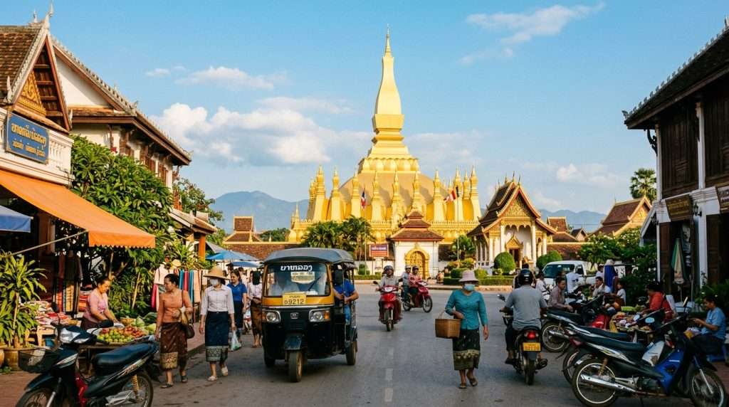
The best map of Vientiane’s future is the zoning plan, not a tourist map. The 2030 plan splits the city into six zones: Historic Conservation, Inner Urban, Outer, Sub-center, Outskirts and Urban Cluster. No official 2050 map appears in the plans I read, so the Vientiane future 2050 map reads best as this 2030 plan stretched forward.
| Zone | Coverage | Height | Plot ratio |
|---|---|---|---|
| Historic town conservation | 75% | 12 m | 2.0 |
| Ancient site conservation | 50% | 7 m | 0.7 |
| Administration and trade central | 60% | 26 m | 4.0 |
| Mekong River bank | 50% | 10 m | 1.0 |
Height caps keep the riverfront low at 10 m, and the historic core at 12 m. Pha That Luang’s stupa stands 44 m tall, so it stays visible above its surroundings. Wat Si Saket sits in a similar protected setting, where a carbon-neutral heritage sanctuary is the vision I hold for it.
Those low buildings and old monuments must still live with the weather. So I looked at what the sky may do by 2050.
What Heat, Rain and Sun Could Look Like by 2050
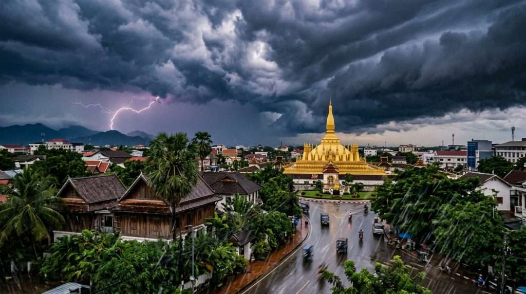
Vientiane gets warmer, a bit drier in total and sunnier by 2050. This comes from a trend projection of the city’s own record since 1976. It is a trend line, not a climate model and not a forecast.
The temperature trend explains only 24% of year-to-year variation. Lao PDR’s 2009 National Adaptation Programme of Action already described more severe floods, droughts and erratic rain. Those findings are from 2009, so I treat them as background only.
Hotter days and the cooling load
The 2050 average daytime high lands near 31.0°C, up 0.8°C from 2025, within a range of 30.5-31.5°C. Days above 30°C rise to about 237 a year from 193. Frost days stay at zero.
For a traveler, that means more midday heat to dodge. For the city, it means more cooling demand.
Less rain overall, harder bursts
Annual rain falls to about 1514 mm from 1713 mm in 2025. A drier total can still hide harsher downpours. The same rain can fall in shorter, harder bursts, which loads drains and storage.
More sunshine, but solar panels lose efficiency in heat
Sunshine rises to about 3518 hours from 3485. That helps solar power. Heat cuts panel efficiency, though, so the gain is smaller than it looks.
The rain that does come still needs a place to go. That brings me to how the city plans to catch it.
How Retention Vaults Under the Mekong Embankment Could Tame Floods
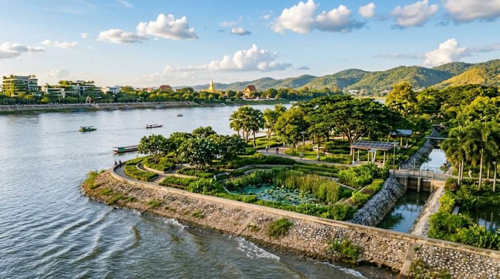
Picture monsoon water rising near the riverbank while a quiet vault takes it in. In my 2050 vision, automated retention vaults sit under the Mekong embankment and the That Luang wetlands. They capture all seasonal flood water.
Filtered water then feeds zero-emission capillary cooling loops for civic districts. This is a vision, not a current plan. Today’s official plan protects retarding ponds, such as marshes and river channels, and adds gates and pumps where needed.
Officials name flood risk as a key issue for residents’ well-being. Wetland restoration is part of the green city push. That matters, because wetlands are storage the city already owns.
The pitfall is paving over wetlands. That removes the natural storage first, and any vault then starts from a deficit. A promise to capture 100% of floods needs tested design, and I flag that again later.
Water also threatens the sacred sites. So I turn to how the two best-known ones could survive the wet season.
Protecting Pha That Luang and Wat Si Saket From Monsoon Wear
Damp brick and thin gold leaf fail in different ways. Brick takes in water and flakes. Gold leaf lifts away from what lies beneath.
My vision uses breathable nano-mineral glazes for both. A good coating keeps the patina and does not make the temple look new. Be clear on one point: no coating trial for these two sites is documented, and no product or date exists.
Pha That Luang’s gilded stupa and gold delamination
The gilded stupa stands 44 m tall, far above the 12 m and 7 m limits around it. Rain and heat can loosen gold from its base, a problem called delamination. A breathable glaze would let moisture escape and hold the leaf in place.
Wat Si Saket’s cloisters and brick spalling
Spalling means the face of a brick flakes off after water gets in and dries again. In the cloisters, a mineral glaze would let the brick breathe. It would also keep the old surface, marks and all.
The streets around these temples need power too. Clean energy could light them without hurting the setting.
Footstep Power and Clean Energy Along Lane Xang Avenue
Picture a crowd crossing Patuxai plaza, each step adding a little power. Under-floor piezoelectric pavers turn footsteps into electricity for a local microgrid. Footstep power is small, so it suits lighting and sensors best.
The mistake is counting pavers as the main source. The larger load must come from solar and the grid. Here are the four pieces I picture:
- Piezoelectric pavers under Lane Xang Avenue and Patuxai plazas.
- Rooftop solar, helped by about 3518 sun hours a year, though heat lowers panel efficiency.
- A local microgrid that shares the power.
- Bus rapid transit on Lane Xang.
The real design for the future Lane Xang avenue covers building height, color and shape, bus rapid transit, large trees, flowers, pavement and street furniture. The Ministry of Technology and Communications is also exploring green-energy-powered AI centers and digital zones.
All of this shapes a visit. So I ask what it means for someone planning a trip.
What a Net-Zero Vientiane Could Mean for Overland Travelers
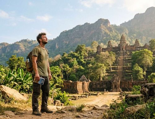
On a first trip to Vientiane today, I would walk the riverfront at dusk and then ride overland in. Net-zero means a city adds no more greenhouse gas to the air than it removes or offsets in a year. For a traveler, that shows up in small, everyday ways.
Here is what I would watch:
- The China-Laos Railway, which links Vientiane with China and Southeast Asian markets, as an overland entry.
- The riverfront walk, with its low height cap.
- The bus rapid transit line planned for Lane Xang.
- The guest house area, with planned rules for building design, setbacks and street furniture.
- Monsoon season timing.
I would plan walks for early morning and late afternoon, when heat days ease. I would keep a rain plan for sudden bursts. Parks are meant to grow to 10 times the level of the time by 2030, so shade may improve.
I cannot promise any 2050 service, so check current options before you book. The vision also has limits, and I want to name them.
Risks and Open Questions for the 2050 Vision
A vision this neat deserves hard questions. I see three honest gaps. First, I found no funding or cost figure for any of it.
Second, growth could spread along arterial roads without enough infrastructure. Sprawl is the risk if roads and drains lag behind homes. Officials already name rising waste, more traffic and accidents, pollution and climate vulnerability as challenges.
A promise to capture all floods is only worth something once real, tested design backs it up.
Third, the weather trend is noisy. Temperature explains only 24% of year-to-year change, so my 2050 numbers could shift. The 100% flood capture idea also needs real engineering and tests.
One thing you can do is follow the GCAP and the next 5-year plan for real projects. They show what gets built and when. That leaves me with one final takeaway.
Conclusion
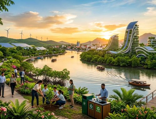
When I picture the golden stupa in 2050, I see a city that kept its shape while it learned to handle water and heat. Vientiane’s real path rests on land planning, water storage and heritage care. The 2050 picture is a vision to watch, not a promise.
My next step is simple. Read the GCAP and the Vientiane Capital land use plans, then stand on the Mekong riverfront with fresh eyes and look for the first signs.





Leave A Comment